Search
You Searched For
Search Results
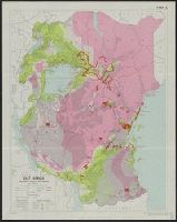
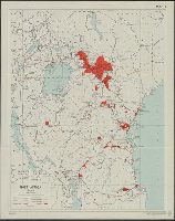
- Creator:
- Great Britain. Directorate of Colonial Surveys
- Published / Created:
- 1954
- Call Number:
- 63 1954 Sheet 3
- Container / Volume:
- BRBL_00335
- Image Count:
- 1
- Resource Type:
- Maps, Atlases & Globes
- Subject (Geographic):
- Africa, East--Maps
- Subject (Topic):
- Population--Africa, East--Maps
- Found in:
- Beinecke Rare Book and Manuscript Library > East Africa. Population, tsetse fly and rainfall [cartographic material] / drawn by Directorate of Colonial Surveys from information supplied by the Royal Commision to East Africa.
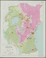
- Creator:
- Great Britain. Directorate of Colonial Surveys
- Published / Created:
- 1954
- Call Number:
- 63 1954 Sheet 2
- Container / Volume:
- BRBL_00335
- Image Count:
- 1
- Resource Type:
- Maps, Atlases & Globes
- Subject (Geographic):
- Africa, East--Maps
- Subject (Topic):
- Population--Africa, East--Maps
- Found in:
- Beinecke Rare Book and Manuscript Library > East Africa. Population, tsetse fly and rainfall [cartographic material] / drawn by Directorate of Colonial Surveys from information supplied by the Royal Commision to East Africa.
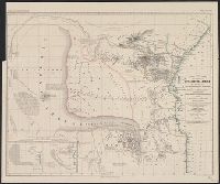
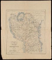
- Creator:
- Petermann, A. (August Heinrich), 1822-1878
- Published / Created:
- 1856
- Call Number:
- 63 1856
- Container / Volume:
- BRBL_00334
- Image Count:
- 1
- Resource Type:
- Maps, Atlases & Globes
- Subject (Geographic):
- Africa, East--Maps
- Subject (Topic):
- Caravans--Africa, East--Maps
- Found in:
- Beinecke Rare Book and Manuscript Library > Skizze einer Karte eines Theils von Ost-u. Central-Afrika, mit Angabe der wahrscheinlichen Lage u. Ausdehnung des See's von Uniamesi, nebst Bezeichnung der Grenzen u. Wohnsitze der verschiedenen Völker, sowie der Caravanen-Strassen nach dem Innern / nach
- Published / Created:
- 1922
- Call Number:
- 654 1922
- Container / Volume:
- BRBL_00344
- Image Count:
- 2
- Resource Type:
- Maps, Atlases & Globes
- Subject (Geographic):
- Africa, East--Maps
- Subject (Topic):
- French--Africa, East--Maps
- Found in:
- Beinecke Rare Book and Manuscript Library > Afrique Occidentale française, carte d'ensemble semi-murale. Politique et administrative / dressée e publiée par le Service Géographique de l'Afrique Occidle. françse. à Dakar sous la direction du Commandant Ed. de Martonne.
- Creator:
- Portugal. Comissão de Cartografia das Colónias
- Published / Created:
- [approximately 1890?]
- Call Number:
- BrSides Folio 2019 7
- Image Count:
- 1
- Resource Type:
- Maps, Atlases & Globes
- Subject (Geographic):
- Africa, East--Maps
- Found in:
- Beinecke Rare Book and Manuscript Library > Africa oriental desde porto Amelia até á frontiers da Africa oriental ingleza (esboço) / M. Diniz, des.
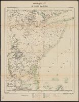
- Creator:
- Great Britain. Directorate of Colonial Surveys
- Published / Created:
- 1954
- Call Number:
- 63 1954 Sheet 1
- Container / Volume:
- BRBL_00335
- Image Count:
- 1
- Resource Type:
- Maps, Atlases & Globes
- Subject (Geographic):
- Africa, East--Maps
- Found in:
- Beinecke Rare Book and Manuscript Library > East Africa. General [cartographic material] / drawn by Directorate of Colonial Surveys from information supplied by the Royal Commision to East Africa.
- Creator:
- United States. Department of State. Interim Research and Intelligence Service. Research and
- Published / Created:
- [1945]
- Call Number:
- 62f 1945
- Container / Volume:
- BRBL_00333
- Image Count:
- 1
- Resource Type:
- Maps, Atlases & Globes
- Subject (Geographic):
- Africa, East--Maps
- Found in:
- Beinecke Rare Book and Manuscript Library > Eritrea, Ethiopia, and Somaliland / R & A, IRIS.
- Creator:
- Kettler, J. I
- Published / Created:
- [1885?]
- Call Number:
- 63 1890
- Container / Volume:
- BRBL_00334
- Image Count:
- 2
- Resource Type:
- Maps, Atlases & Globes
- Subject (Geographic):
- Africa, East--Maps
- Found in:
- Beinecke Rare Book and Manuscript Library > Übersichtskarte des mittleren Ost-Afrika : und der deutschen Erwerbung / red. v. J.I. Kettler
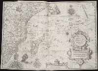
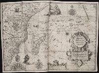
- Creator:
- Langren, Arnold Florent van, 1580-1644
- Published / Created:
- [1596]
- Call Number:
- Taylor 219
- Collection Title:
- Navigatio ac itinerarivm Iohannis Hvgonis Linscotani in Orientalem sive Lvsitanorvm Indiam
- Image Count:
- 1
- Subject (Geographic):
- Africa, East --Maps
- Found in:
- Beinecke Rare Book and Manuscript Library > Delineatio orarum maritimarum, terrae vulgo indigetatae terra do Natal ...
- Creator:
- Langren, Arnold Florent van, 1580-1644
- Published / Created:
- [1596]
- Call Number:
- Pequot +L65
- Collection Title:
- Nauigatio ac itinerarium Iohannis Hugonis Linscotani in Orientalem siue Lusitanorum Indiam
- Image Count:
- 1
- Subject (Geographic):
- Africa, East --Maps
- Found in:
- Beinecke Rare Book and Manuscript Library > Delineatio orarum maritimarum, terrae vulgo indigetatae terra do Natal ...