Search
You Searched For
Search Results
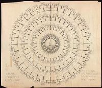
- Creator:
- Bruner, L. D.
- Published / Created:
- [1867?]
- Call Number:
- BrSides Elephant Folio 2018 14
- Image Count:
- 7
- Resource Type:
- Maps, Atlases & Globes
- Subject (Geographic):
- East Indies--Maps.
- Found in:
- Beinecke Rare Book and Manuscript Library > [Collection of five manuscript nautical charts of the World, the South Atlantic, and the East Indies with "Course indicator of U.S.S. 'Idaho'" drawn by L.D. Bruner].
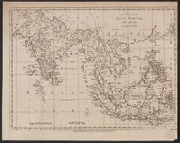
- Creator:
- Lodge, John, -1796
- Published / Created:
- 30th Septr. 1780.
- Call Number:
- 27 1780
- Container / Volume:
- BRBL_00683
- Image Count:
- 1
- Resource Type:
- Maps, Atlases & Globes
- Subject (Geographic):
- East Indies--Maps--Early works to 1800
- Found in:
- Beinecke Rare Book and Manuscript Library > A map of the East Indies [cartographic material] : from the best authorities.
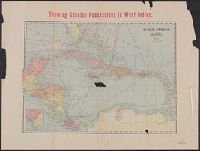
- Creator:
- George F. Cram Company
- Published / Created:
- [191-?]
- Call Number:
- 85 1910
- Container / Volume:
- BRBL_00638
- Image Count:
- 2
- Resource Type:
- Maps, Atlases & Globes
- Subject (Geographic):
- East Indies--Maps
- Found in:
- Beinecke Rare Book and Manuscript Library > Showing Spanish possessions in West Indies ; Showing Spanish possessions in East Indies.
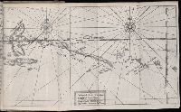
- Published / Created:
- [1618]
- Call Number:
- Taylor 275
- Collection Title:
- Journal ou relation exacte du voyage de Guill Schouten
- Image Count:
- 1
- Subject (Geographic):
- East Indies --Maps --Early works to
- Found in:
- Beinecke Rare Book and Manuscript Library > Description de la coste septentrionale de Noua Guinea ...
- Call Number:
- 1976 1233
- Collection Title:
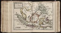
- Forty-two new maps of Asia, Africa, and America ... : all engrav’d, according to the latest
- Image Count:
- 1
- Subject (Geographic):
- East Indies --Maps --Early works to
- Found in:
- Beinecke Rare Book and Manuscript Library > The principal islands of the East Indies, according to ye newest observations
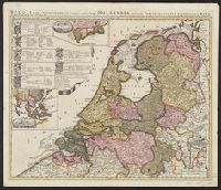
- Creator:
- Schenk, Peter, 1660-1718 or 1719
- Published / Created:
- 1700?]
- Call Number:
- 331 1700A
- Container / Volume:
- BRBL_00078
- Image Count:
- 1
- Resource Type:
- Maps, Atlases & Globes
- Subject (Geographic):
- East Indies--Maps--Early works to 1800
- Found in:
- Beinecke Rare Book and Manuscript Library > Belgii pars septentrionalis communi nomine vulgo Hollandia : nuncupata continens statum potentissimae Batavorum Reipublicae seu Provincias VII. foederatas. Cum omnium provinciarum insignibus, additis omnibus nominibus urbium et pagorum edente / Petro Sche
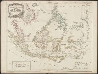
- Creator:
- Robert de Vaugondy, Gilles, 1688-1766.
- Published / Created:
- [1757-1786?]
- Call Number:
- 27 1750
- Container / Volume:
- BRBL_00023A
- Image Count:
- 1
- Resource Type:
- Maps, Atlases & Globes
- Subject (Geographic):
- East Indies--Maps--Early works to 1800.
- Found in:
- Beinecke Rare Book and Manuscript Library > Archipel des Indes Orientales : qui comprend les Isles de la Sonde, Moluques et Philippines / tirʹees des Cartes du Neptune Oriental par le Sr. Robert ; Guill. Delahaye sculp.
- Published / Created:
- [1618]
- Call Number:
- Taylor 275
- Collection Title:
- Journal ou relation exacte du voyage de Guill Schouten
- Image Count:
- 1
- Subject (Geographic):
- East Indies --Maps --Early works to
- Found in:
- Beinecke Rare Book and Manuscript Library > Description de la grande mer du Sud monstrant par quel chemin Guillaume Schouten a nauige ...